Making Archeological Discoveries with Open Innovation
Published Jan-27-19Breakthrough:
Using satellites and the crowd to make archeological discoveries.
Company:
GlobalXplorer, United States
The Story:
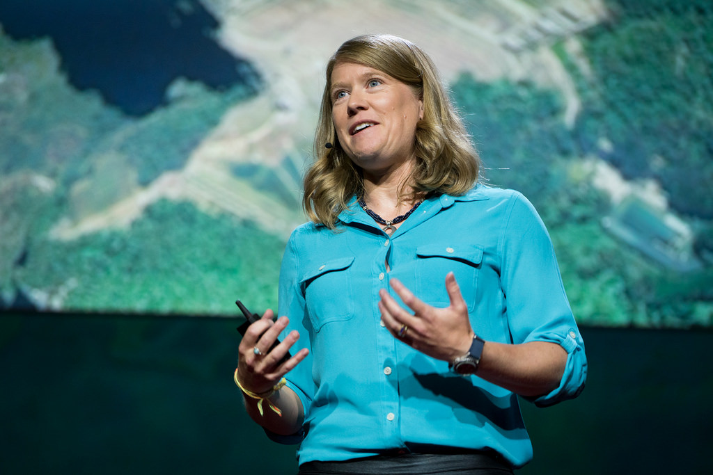
 Professor Sarah Parcak is a space archeologist and a National Geographic fellow who uses satellite imagery to probe the Earth, analyzing pictures to identify small changes that could signal hidden human-made structures. To date, her archeological techniques have helped locate 17 potential pyramids, more than 3,000 potential forgotten settlements, approximately 1,000 potential lost tombs in Egypt as well as significant Viking and Roman discoveries. But there's even more waiting to be uncovered.
In 2016 Prof. Parcak won the $1m TED (Technology, Entertainment and Design) prize and used the money set up GlobalXplorer, an online platform where the crowd studies satellite images for hitherto undiscovered sites around the world. According to Prof. Parcak, this will make archeological exploration “more open, inclusive and at a scale simply not previously possible.”
Making Archeological Discoveries with the Crowd
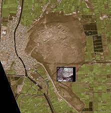
GlobalXplorer’s first mission, which was completed the following year was to map archeological sites in Peru. More than 70,000 citizen scientists participated from more than 100 countries. Between them they studied almost 15 million images of Peru, covering approximately 150,000 square kilometers. That’s approximately 20% of the country. The region extended from the Pacific Coast to the Sacred Valley, once part of the heart of the Inca empire.
This area was chosen because Parcak and her colleagues thought it would be the most fruitful. They weren’t wrong. The results of the open innovation project were staggering as the crowd managed to identify more than 19,000 features of archeological interest. They date from Caral, the oldest civilization in Peru c. 3200 BCE, all the way to the fall of the Inca in 1572 CE.
The exact nature of the sites and structures identified are unknown and will be investigated further but according to the GlobalXplorer team, they appear to be settlements, elite complexes, terraced lands and fortified hillside structures.
Site Mapping
Dr. Parcak colleagues sorted the thousands of sites into categories which included 342 sites of very high interest. GlobalXplorer staff then handed a batch of 400 confirmed sites to the on-the-ground team, located around Peru's Palpa and Nasca Valley regions. The job of this team was to get closer to the sites to map them in greater detail using drones and a technique called slope flying. This is where drones map one strip at a time at different altitudes. The images they create have a much better resolution than satellite imagery.
The resulting data consists of videos, still photos and 3D models and confirms what the crowd discovered. The imagery is handed to Peruvian authorities who then set up methods to protect the sites from looters. They also legally register them as archeological property.
Future Discoveries
The work in Peru is just the first step and a valuable demonstration of how much the crowd can contribute to the field of archeology. GlobalXplorer is set to expand and use its worldwide network of citizen explorers to study other parts of the planet for hidden archeological sites.
Next Story »